Exhibition highlights Vietnam’s sovereignty over Truong Sa, Hoang Sa
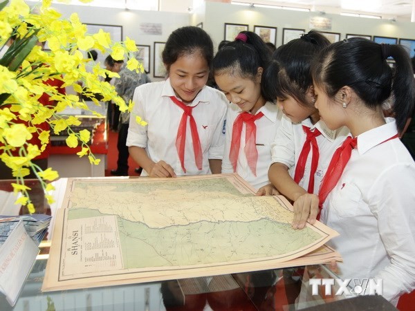
(VOVworld) – An exhibition entitled “Hoang Sa, Truong Sa belongs to Vietnam – historical and legal evidence” opened in Bac Ninh City on Friday, featuring documents, artifacts, and nearly 100 maps published worldwide, proving Vietnam’s sovereignty over the two archipelagos.
 |
On display are 65 maps published by western countries from the 17th century to the present day proving Vietnam’s sovereignty over the archipelagos, as well as 4 atlases, and 30 maps published by China n different periods which indicates that the two archipelagos have never been under China’s control. Doctor Tran Duc Anh Son, Deputy Director of the Da Nang Institute for Socio-Economic Development talked about a Belgian geographer’s atlas published in 1827 which also demonstrates Vietnam’s sovereignty over these two archipelagos: "The Belgian’s atlas consists of 6 volumes, two of which related to Vietnam. The atlas clearly indicated that Hoang Sa belonged to the An Nam Empire with exact coordinates, notes and explanations. The atlas included maps officially positioning Hainan Island as China's southernmost maritime border which matches China’s historical documents, and is therefore important evidence backing Vietnam."