(VOVworld) – The Ministry of Information and Communications has received the World Atlas, published by Philippe Vandermaelen in Brussels in 1827. One of these maps called “Partie de la Cochinchine” confirms Vietnam’s sovereignty over the Hoang Sa and Truong Sa archipelagoes. This valuable Atlas contributes significantly to the campaign to explain the sovereignty of Vietnam’s waters and islands. It is evidence of paramount international legal value in Vietnam’s struggle to safeguard its maritime sovereignty.
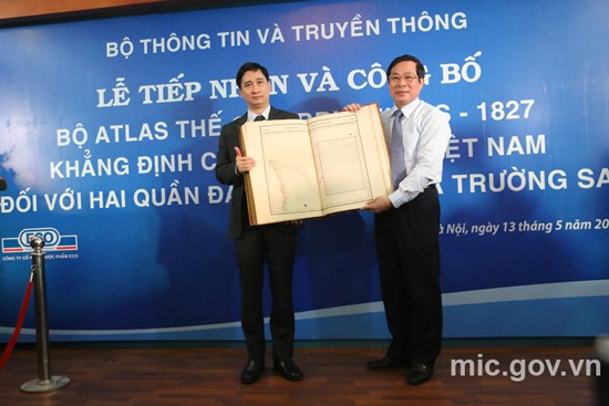
On behalf of Ministry of Information and Communications, Minister Nguyen Bac Son received the World Atlas, published in Brussels in 1827
|
In 1827, Philippe Vandermaelen (1795-1869), the remarkable geographer, and member of the Paris Geography Association, published the World Atlas that comprises 6 volumes with 7 general maps of five continents, 381 detailed maps, 40 pages of statistics and a great deal of information on natural, and political history and mineral geography. Professor Nguyen Quang Ngoc, Vice President of the Vietnam Association of Historical Sciences, who had traveled to Europe to study and evaluate the Atlas, said that it marked an important milestone in the development of cartography in the early 19
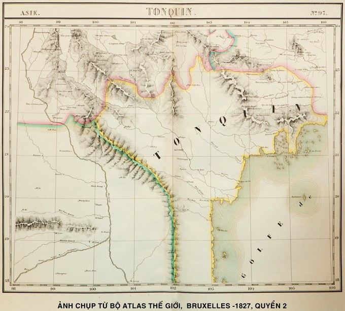
th century. The Asian volume has 111 maps, mainly arranged in volume two of the Atlas. Vietnam was introduced at that time through maps number 97,105, 106 and 110. Partie de la Cochinchine is map 106 where the central coastline was drawn from the 12th Parallel to the 16th Parallel. In the high sea, Paracels (Hoang Sa) was drawn in detail and preciseness from about the 16th latitude to the 17th and from the 109th longitude to the 111th longitude. Mr. Ngoc says:
“From the early 18th century to the end of the 19th century, maps were drawn up based on the Paris meridian system. The first International Geographical Congress in 1871 proposed creating maps of maritime areas based on the Greenwich meridian. World maps have been drawn up based on the Greenwich meridian since 1886. The difference between the Paris meridian and the Greenwich meridian is 2 degrees, 20 minutes and 14 seconds. This difference is scientific, logical, and impartial evidence of the 1827 World Atlas of Philippe Vandermaelen, which include drawings of Vietnam’s Hoang Sa archipelago.”
The map named the Partie de la Chine within the 18th Latitude to 21st Latitude and the 106th Longitude to the 114th Longitude with Guangton and Hainan were drawn in this area. This shows that China’s southernmost boundary has never reached the 18th Latitude
|
Professor Ngoc says the map also includes a brief introduction to the Empire of An Nam (Empire d’An nam):“Next to Paracels (Hoang Sa), Philippe Vandermaelen wrote a brief introduction to the Empire of An Nam, which included geography, population, politics, and mineral resources. Any one would understand that this was Vietnam in the early 19th century. This map is absolute evidence that the Paracels (Hoang Sa) belonged to the southern region (Dang trong) and was within the territory of the Empire of An Nam.”
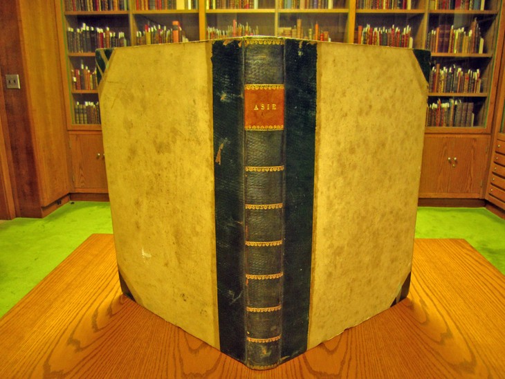
Photo:University of Princeton |
In the Atlas, map number 98 with the name Partie de la Chine from about 18th latitude to 21st latitude and from 106th longitude to the 114th longitude illustrating Guangdong and Hainan island shows that China’s southern most border does not reach the 18th latitude and below the 18th latitude is Vietnam. Professor Doctor Nguyen Quang Ngoc: “The World Atlas is a comprehensive display. Philipe Vandermaelen was an objective person. He drew the map based on his materials and perception about sovereignty. The Atlas is very famous and was used all over the world 200 years ago. This shows the world’s recognition of Vietnam’s sovereignty over Hoang Sa, in the Paracels as drawn on the map. This is a precious and accurate document and is invaluable. I have thoroughly studied the atlas and other maps, which all clearly prove Vietnam’s sovereignty. This atlas is the best evidence”.
Professor Nguyen Quang Ngoc and post-graduate student Nguyen Thi Hai in France have contributed greatly to the collecting of the atlas. Nguyen Bac son is Minister of Information and Communication: “The Atlas was collected several days ago. The collection was carefully undertaken. This atlas will contribute to affirming Vietnam’s sovereignty over the Hoang Sa and Truong Sa archipelagoes, helping international friends better understand Vietnam’s struggles to defend its territorial sovereignty”.
The World Atlas, published by Philippe Vandermaelen in Brussels in 1827, provides important documentary materials and is an important legal foundation which affirms Vietnam’s sovereignty over Hoang Sa and Truong Sa.