(VOVworld) – On Friday, the Ministry of Information and Communications presented the High Command of Military Zone 3 maps and materials on Vietnam’s Hoang Sa and Truong Sa Archipelagoes.
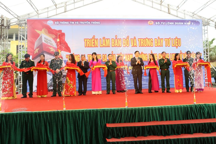 |
Minister of Information and Communications Nguyen Bac Son, Deputy Minister Nguyen Thanh Hung, and delegates at the opening of the exhibition (Photo: mic.gov.vn)
|
The documents are on display at an exhibition named ‘Vietnam’s Hoang Sa and Truong Sa Archipelagoes-Historical and legal evidence’ in Hai Phong. The exhibits including 100 maps collected by domestic and international scholars prove that Vietnamese states from the feudal time to present days have conducted activities to protect national sovereignty over the two archipelagoes.
This is a consecutive and long-term process which has been recorded in many historical resources, particularly the maps drawn and published since the 16th century in Vietnam and other countries in the world.
Most worthy of notes among the documents are 4 Atlas issued by China’s Qin Dynasty and the Chinese government.
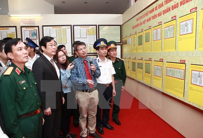 |
| Minister of Information and Communications Nguyen Bac Son and delegates at the exhibition (Photo: Lam Khanh/VNA) |
Minister of Information and Communications Nguyen Bac Son said: “the exhibits are materials collected in Vietnam and other countries around the world including China, contributing to reaffirming Vietnam’s sovereignty over Hoang Sa and Truong Sa, indispensable parts of Vietnam. The documents reaffirm that Vietnam discovered the islands and has managed and protected them over the past 400 years in line with international law. The exhibition also reiterates Vietnam’s firm stance and aims to raise awareness and responsibility of the public and army for defending national maritime sovereignty.”
The exhibition will run through next Wednesday.