Exhibition on Hoang Sa and Truong Sa opens in Quang Tri province
(VOVworld) – Numerous documents, photos and maps about the Hoang Sa and Truong Sa archipelagoes are on now display at an exhibition which opened in Quang Tri Province on Friday.
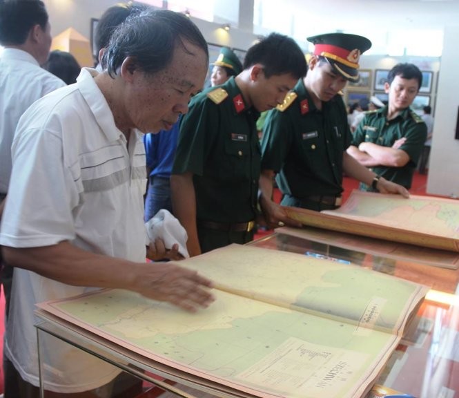 |
| The exhibition attracted many visitors (Photo: tuoitre.vn) |
The exhibition features a number of royal documents from the 17th to early 20th centuries affirming Vietnam’s continuous sovereignty over the area. Most notably among them were a collection of maps, photos, documents and atlas published by China and a world atlas on 5 themes, all confirming Vietnam’s sovereignty. Truong Minh Tuan, Deputy Minister of Information and Communication, said: “The documents and maps once again assert Vietnam’s continuous sovereignty over the two archipelagos for many hundreds of years. The documents, in Han, Nom script, and Western maps, show that Hoang Sa and Truong Sa belong to Vietnam. They include evidence indicating that China’s furthest point is Hainan island, which show that China’s claimed nine-dotted line is groundless”.