
(VOVWORLD) - Major Le Thi Minh Thuy of the Vietnamese Navy and her colleagues have drawn hundreds of digital nautical charts and seabed topographic maps, and built geographic databases. This work,...
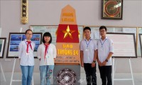
(VOVWORLD) - 200 maps and valuable historical documents are being displayed in print and digital formats in Ha Nam province to confirm Vietnam’s sovereignty over Truong Sa (Spratly) and Hoang Sa ...

(VOVWORLD) -National Assembly deputies on Friday discussed the draft law on measurements and maps

(VOVworld) - The International Civil Aviation Organization (ICAO) has corrected the map of the Sanya’s flight information region (FIR) that includes Vietnam’s Truong Sa (Spratly) archipelago, at the request of Vietnam,...

(VOVworld) – Forty-one exhibitions in 30 provinces and cities, and 11 islands and island districts have been held over the past two years displaying maps, documents, publications, and objects proving Vietnam’s sovereignty over...

(VOVworld) - An exhibition featuring official documents, maps, and artifacts affirming Vietnam’s sovereignty over Truong Sa (Spratly) and Hoang Sa (Paracel) archipelagos, opened Wednesday in Son La province

(VOVworld) – Approximately 100 maps and a series of documents, publications and objects proving Vietnam’s sovereignty over the Hoang Sa (Paracel) and Truong Sa (Spratly) archipelagos are on display at...

(VOVworld) - The Cambodian Border Committee has confirmed consistency of the maps used in demarcation with Vietnam and those produced by the French-Indochina Geography Service

(VOVworld)- The Cambodian government has confirmed the consistency of its map used in the demarcation of border with Vietnam compared to the UN map

(VOVworld) - Maps and documents backing the historical and legal evidence proving Vietnam’s sovereignty over the archipelagos in the East Sea are on display in Thang Binh district of central...

(VOVworld) – On Friday, the Ministry of Information and Communications presented the High Command of Military Zone 3 maps and materials on Vietnam’s Hoang Sa and Truong Sa Archipelagoes

(VOVworld) – An exhibition entitled “Vietnam’s Truong Sa (Spratly) and Hoang Sa (Paracel) archipelagos - historical and legal evidence” will open in Ben Tre city on Tuesday

(VOVworld) – On Wednesday, the Ho Chi Minh Communist Youth Union's Central Committee received 180 maps and documents concerning the Hoang Sa and Truong Sa archipelagos from the Ministry of...

(VOVworld) - Maps demonstrating Vietnam’s sovereignty over the Hoang Sa (Paracel) and Truong Sa (Spratly) Archipelagoes drew special international attention at the ongoing 49th International Tourism Fair (ITB) in Berlin,...
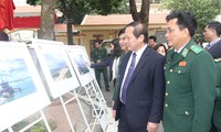
(VOVworld) – The Ministry of Information and Communications presented on Monday 180 documents and maps to the Border Guard Command, confirming Vietnam’s sovereignty over Truong Sa (Spratly) and Hoang Sa (Paracel...

(VOVworld) – A map and document exhibit showing Vietnam’s sovereignty over Hoang Sa (Paracel) and Truong Sa (Spratly) archipelagoes opened in Quang Nam province on Friday
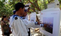
(VOVworld) - Khanh Hoa province has hosted an exhibition of maps and archives about Hoang Sa and Truong Sa with historic evidence of Vietnam’s sovereignty over the archipelagos
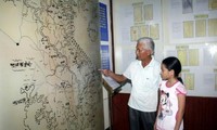
(VOVworld) – Precious documents including hundred-year-old maps on Truong Sa (Spratly) and Hoang Sa (Paracel) archipelagoes have been displayed in the central province of Ha Tinh
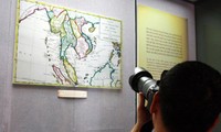
(VOVworld) – 4 ancient maps confirming Vietnam’s sovereignty over Hoang Sa (Paracel) and Truong Sa (Spratly) archipelagoes are on display at the Nha Trang Oceanography Museum in the southern province...