Exhibition “Hoang Sa of Vietnam, historical evidence” opens
(VOVworld) – An exhibition entitled “Hoang Sa of Vietnam, historical evidence” has opened in the central city of Da Nang. The exhibition showcases 150 maps published between 1626 and 1980, in which western countries confirmed that China’s southern territory reached Hainan island only.
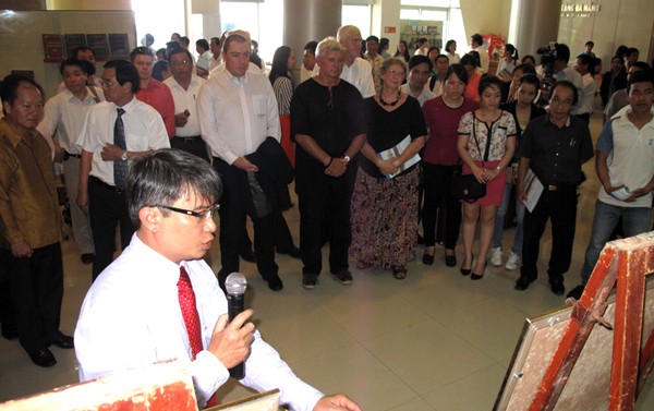
Doctor Tran Duc Anh introduces the documents to visitors
|
Documents on display also include sea maps and maps of Asia and Southeast Asia which demonstrate that Hoang Sa and Truong Sa archipelagos belonged to Vietnam. In particular, 3 atlas published by China in the early 19th century are valuable evidence of Vietnam’s sovereignty over these two archipelagos. Most of these historical evidences were donated by overseas Vietnamese Tran Thang from the United States. Tran Duc Anh Son, Deputy Director of Da Nang’s Institute for Socio-economic Development said: "These documents prove that governments of Vietnam through different periods of time had exercised the country’s sovereignty over Hoang Sa and Truong Sa. This demonstrates that since the 16th century, Vietnam continued to define, exercise and defend its national sovereignty from foreign invasion."

Mrs. and Mr. Ian Casters write their opinions after visiting the exhibition
|