Vietnam’s remote satellite program reviewed after successful year
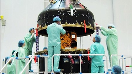 VNREDSat-1 launching. Photo: VOV
(VOVworld) - Vietnam’s first remote sensing satellite, VNREDSat-1, has captured more than 3,600 images since it came under the country’s control last September. At Monday's conference to review the one-year operation of the satellite, Deputy Minister of Natural Resources and Environment Nguyen Thai Lai said VNREDSat-1 serves as an effective monitoring tool helping the country manage environmental resources and defend national sovereignty. Lai noted that it has also contributed to claiming Vietnam’s sovereignty over not only its land, sea and islands but also its airspace. Since the satellite has come into stable operation, it has taken more than 20,700 images, of which 6,000 feature Vietnamese land and more than 14,600 other areas of the world.