Remote sensing technology applied to manage marine environmental resources
(VOVworld) – The National Remote Sensing Department, under the Ministry of Natural Resources and Environment, has completed a project to monitor sea and island resources using remote sensing technology.
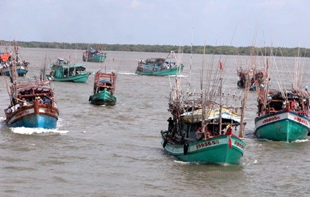 |
| Fishing boats in Ca Mau Province. The Ministry of Natural Resources and Environment is developing a project using remote sensing technology to study and monitor the marine environment and resources (Photo: VNA) |
This is part of a master plan to survey and mange marine environmental resources since 2010 with a vision towards 2020. The remote sensing technology is able to provide accurate information in the fastest way, and covering a larger space. Remote sensing technology and satellite imagery are more effective methods for Vietnam, with its long coastlines and many islands. The project has established a database to draw up geographical maps for Hoang Sa and Truong Sa archipelagoes and other coastal areas and emerging islets.