



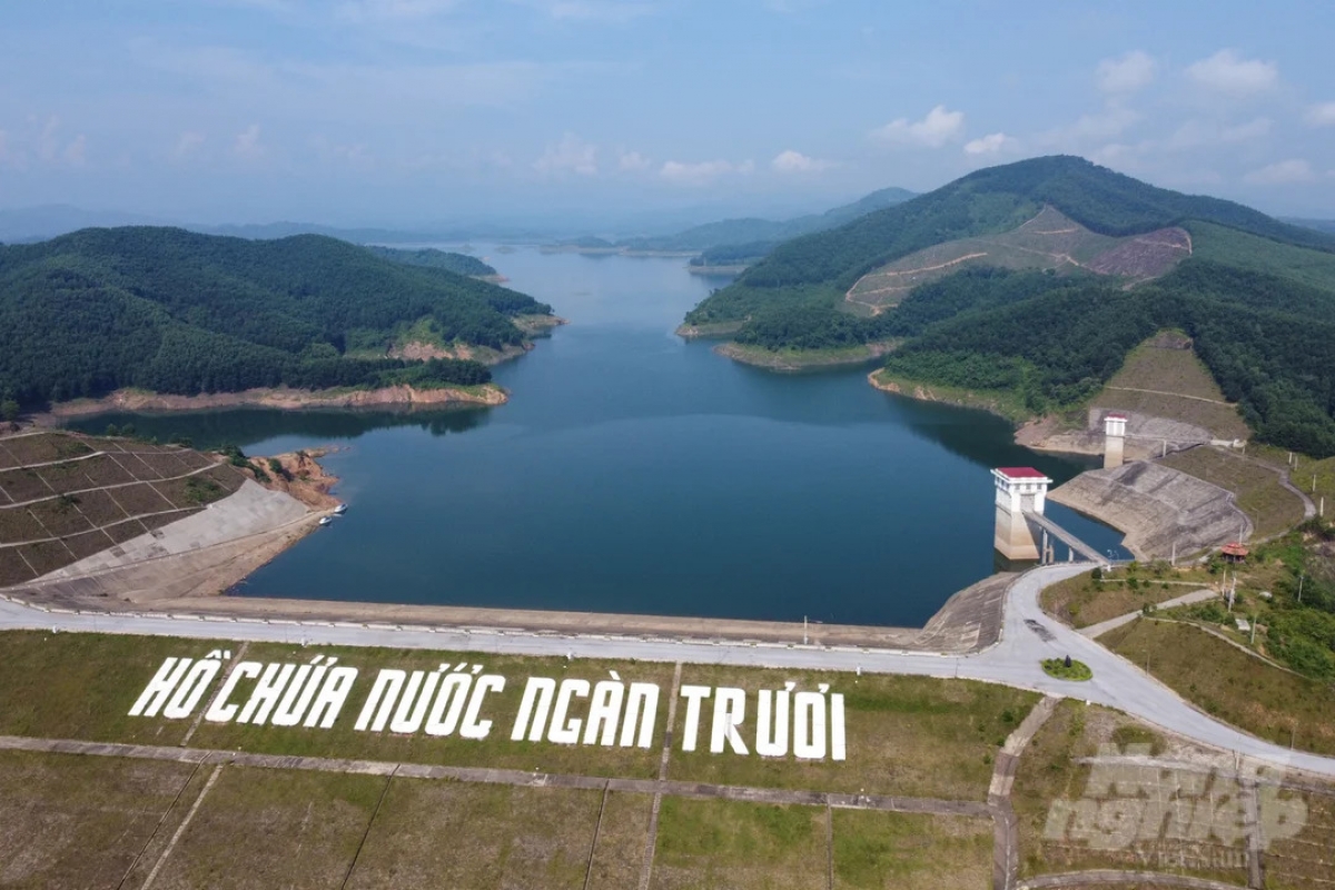
The sun rising above Ngan Truoi reservoir casts a brilliant reddish-pink glow on its rippling waters. From our boat, we take in the majestic mountains, scattered islands, and wildness of the surrounding landscape.
The Ngan Truoi River starts in the eastern Truong Son Range near the border with Laos and winds through rugged mountains. The 45-kilometer section that passes through Huong Quang commune (formerly Vu Quang district) has a maximum width of 100 meters.
Before Ngan Truoi reservoir was built, the local residents experienced severe flooding every rainy season. Livestock and poultry were swept away, and homes were inundated. Since 2017, when the river was dammed and the reservoir began storing water, the area and neighboring communities have been spared the annual flooding.
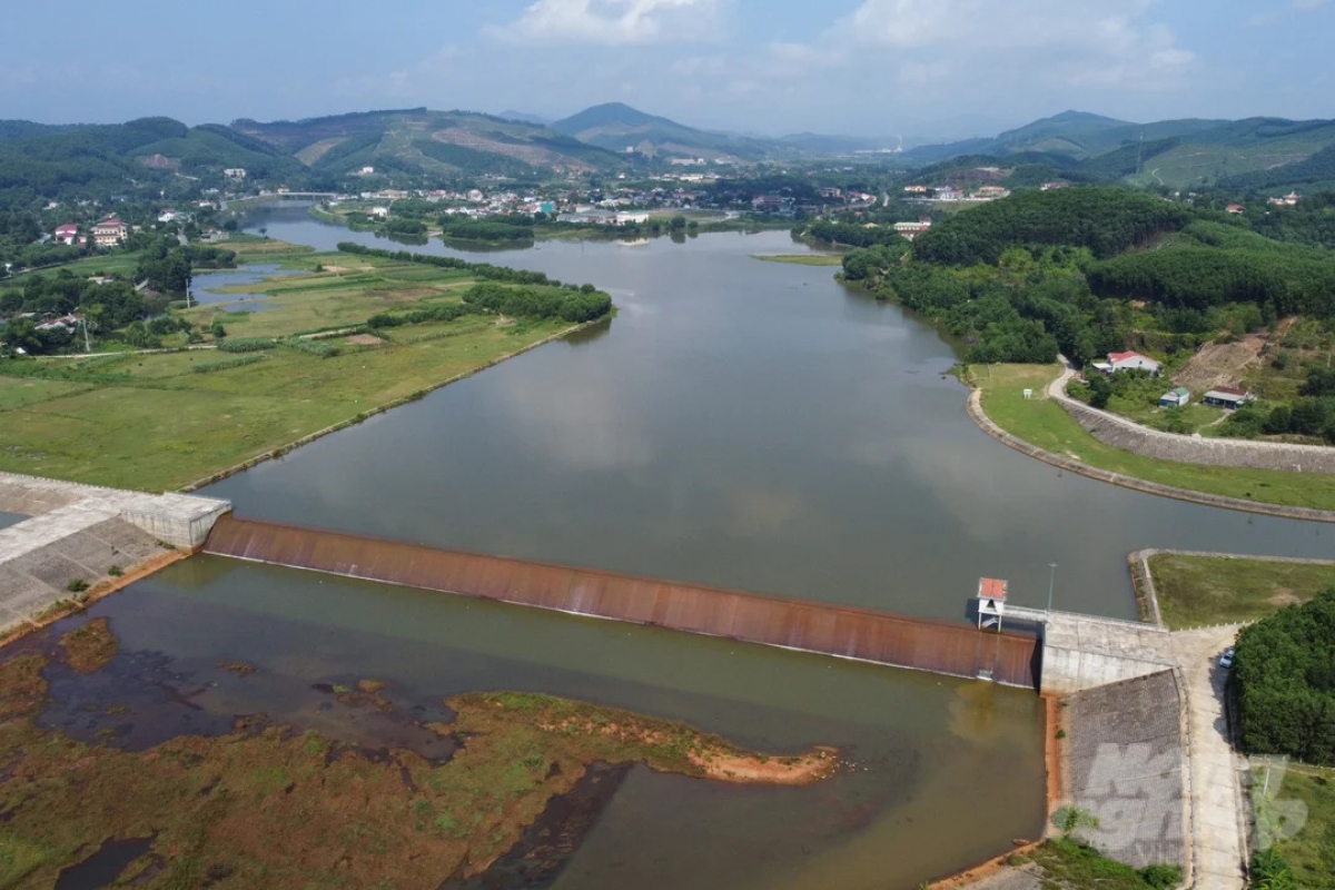
Located entirely within the core zone of Vu Quang National Park in Ha Tinh province, the Ngan Truoi–Cam Trang irrigation reservoir has a storage capacity of 775 million cubic meters, making it Vietnam’s third-largest reservoir, after Cua Dat in Thanh Hoa province and Dau Tieng in Tay Ninh province. Its main dam is 65 meters high and 360 meters long, making it Vietnam’s highest earth-fill irrigation dam. The reservoir’s catchment area spans 408 square kilometers.
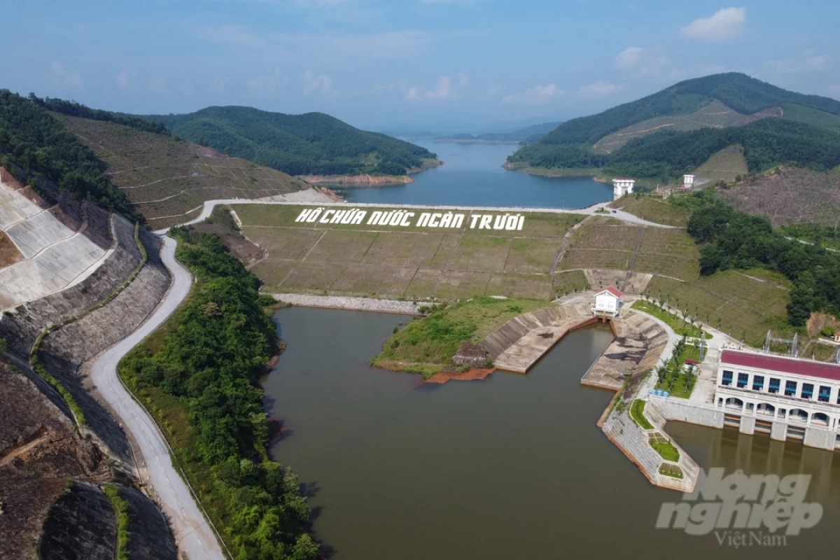
Nguyen Danh Ky, the Director of Vu Quang National Park, said: “The Ngan Truoi–Cam Trang reservoir began construction in 2008. Ha Tinh province had to relocate the residents of two communes. Since its completion, the reservoir has been used to supply water for agriculture and domestic use, generate hydropower, and, most importantly, prevent floods.”
Water from the reservoir is released into the Vu Quang diversion dam and flows into the Ngan Truoi canal before being distributed through a network of smaller canals to downstream areas. This key national construction supplies water to 32,000 hectares of farmland and aquaculture and protects the North-South railway, the Ho Chi Minh Highway, and the 500-kilovolt North-South power transmission line from flooding during the rainy season.
Nguyen Minh, a resident of Mai Hoa commune, Ha Tinh province, said: “Before the Ngan Truoi reservoir, we had to flee the floods two or three times a year. In some years, floods reached the roofs of our houses, swept away our belongings, livestock, and poultry, and caused heavy losses. Over the past seven years, the reservoir has stored water and regulated releases so effectively that even during the worst floods, only a few roads are inundated and there’s been no impact on people's homes. We’re very happy.”
65-year-old Nguyen Thi Lai of Thuong Duc commune said: “My family has 7 hectares of rice fields and produces 4.5 tons of rice from two harvests each year, compared with the 2 tons we used to get from a single harvest. Rice yields have increased thanks to sufficient irrigation water at every stage of the rice-growing cycle.”
Making use of the reservoir’s water resources, many local households have begun farming caged fish, generating substantial income. Ngo Van Minh has been raising fish in cages at Ngan Truoi Reservoir for three years. “The water makes fish farming feasible. The fish grow quickly and are less susceptible to disease. Each 120-cubic-meter cage can hold around 500 fish, mainly grass carp, and common carp. After 6 to 8 months, each fish weighs between 2 and 5 kilograms. We harvest twice a year, producing a total of 2 tons of fish annually.”
For generations, the local people used to navigate waterfalls and rapids because of arduous travel and transportation. The Ngan Truoi–Cam Trang irrigation project, the construction of roads, and expanded trade between mountain communes and lowland areas have improved the lives of people in the remote mountains.