






The report provides a comprehensive assessment of the current quality of nearshore seawater, ecosystems, and biodiversity. It also identifies pollution sources, as well as shortcomings in management and the capacity to respond to marine environmental incidents.
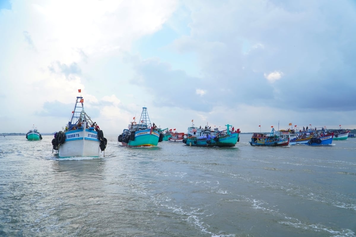
Following administrative merger, Can Tho City now possesses a 72-kilometer coastline spanning six communes and wards, with direct connectivity to the East Sea via three major river mouths.
The report said the formation of this coastal zone opens up new development potential in the marine economy, seaport logistics, and renewable energy. The area’s distinctive ecosystems—such as mangrove forests, tidal flats, and the Hau River estuary—play a vital role in biodiversity conservation, climate regulation, and climate change mitigation.
Can Tho has set a target for the next five years to achieve a collection and treatment rate of over 95% for domestic solid waste in urban areas and coastal communes. It aims to plant and restore 250 hectares of coastal protection forests.
Alongside the development of transport, logistics, and marine economic zones, the city is prioritizing offshore wind power. It is strengthening the management of marine resource extraction—including sea sand—by linking it to environmental impact assessments and post-extraction environmental restoration.
The overarching goal is to develop the marine economy in tandem with ecosystem protection, rational resource use, and climate change adaptation, aiming to establish a sustainable, green marine economic corridor.


