


 Vietnamese
 中文
中文
 日本語
日本語
 한국어
한국어
 Français
 Русский
 Deutsch
 Español
 Bahasa Indonesia
 ไทย
ไทย
 ພາສາລາວ
 ខ្មែរ
ខ្មែរ


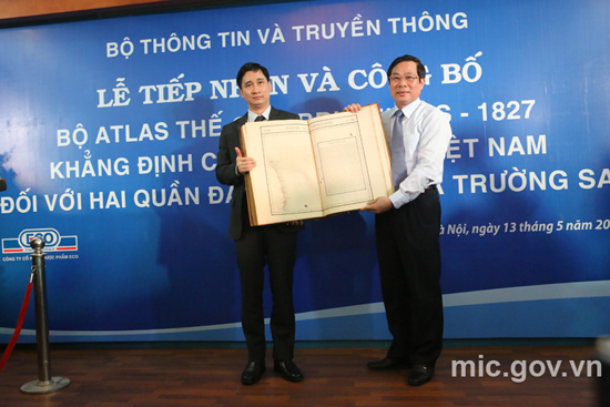 On behalf of Ministry of Information and Communications, Minister Nguyen Bac Son received the World Atlas, published in Brussels in 1827
|
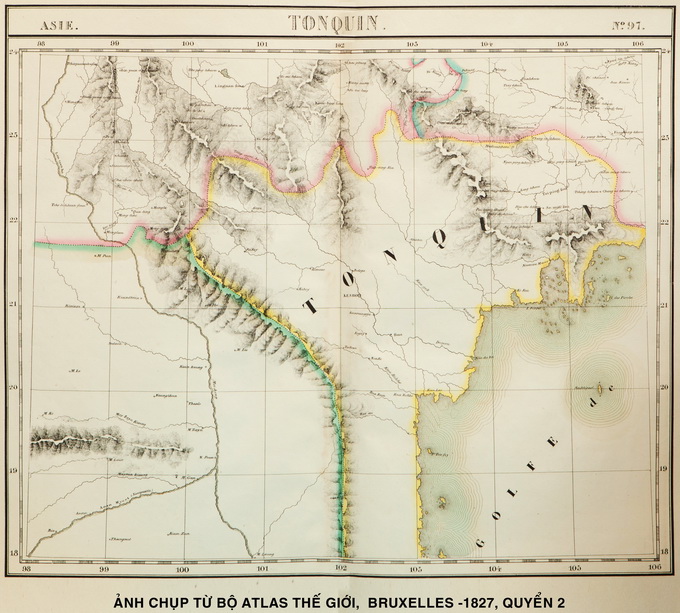 The map named the Partie de la Chine within the 18th Latitude to 21st Latitude and the 106th Longitude to the 114th Longitude with Guangton and Hainan were drawn in this area. This shows that China’s southernmost boundary has never reached the 18th Latitude
|
Professor Ngoc says the map also includes a brief introduction to the Empire of An Nam (Empire d’An nam):“Next to Paracels (Hoang Sa), Philippe Vandermaelen wrote a brief introduction to the Empire of An Nam, which included geography, population, politics, and mineral resources. Any one would understand that this was Vietnam in the early 19th century. This map is absolute evidence that the Paracels (Hoang Sa) belonged to the southern region (Dang trong) and was within the territory of the Empire of An Nam.”
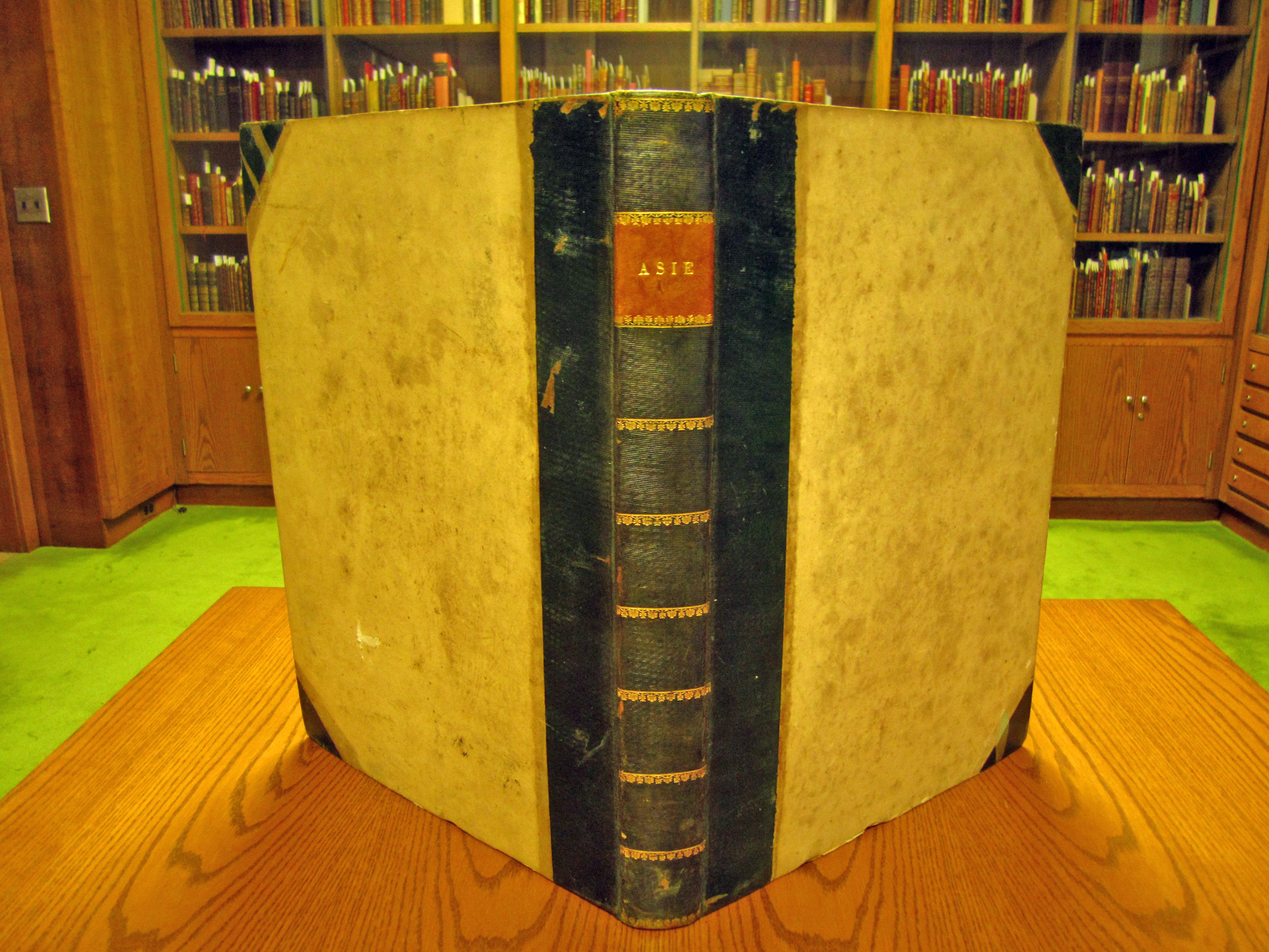 Photo:University of Princeton |
In the Atlas, map number 98 with the name Partie de la Chine from about 18th latitude to 21st latitude and from 106th longitude to the 114th longitude illustrating Guangdong and Hainan island shows that China’s southern most border does not reach the 18th latitude and below the 18th latitude is Vietnam. Professor Doctor Nguyen Quang Ngoc: “The World Atlas is a comprehensive display. Philipe Vandermaelen was an objective person. He drew the map based on his materials and perception about sovereignty. The Atlas is very famous and was used all over the world 200 years ago. This shows the world’s recognition of Vietnam’s sovereignty over Hoang Sa, in the Paracels as drawn on the map. This is a precious and accurate document and is invaluable. I have thoroughly studied the atlas and other maps, which all clearly prove Vietnam’s sovereignty. This atlas is the best evidence”.
Professor Nguyen Quang Ngoc and post-graduate student Nguyen Thi Hai in France have contributed greatly to the collecting of the atlas. Nguyen Bac son is Minister of Information and Communication: “The Atlas was collected several days ago. The collection was carefully undertaken. This atlas will contribute to affirming Vietnam’s sovereignty over the Hoang Sa and Truong Sa archipelagoes, helping international friends better understand Vietnam’s struggles to defend its territorial sovereignty”.
The World Atlas, published by Philippe Vandermaelen in Brussels in 1827, provides important documentary materials and is an important legal foundation which affirms Vietnam’s sovereignty over Hoang Sa and Truong Sa.