


(VOVworld) – The Ministry of Information and Communications is showcasing 200 documents and maps which prove that Vietnam’s feudal dynasties exercised sovereignty over Truong Sa (Spratly) and Hoang Sa (Paracel) archipelagos.
 |
| The exhibition opens with a ribbon-cutting ritual. (Photo: VOV) |
The display, opening today/ on Tuesday at the Vietnam Military History Museum, features maps of Vietnam and China drawn between the 16th and 19th century in Western countries, Chinese maps published by China between the 16th and 20th century, and images and other materials in Chinese and Chinese-transcribed characters used in the Nguyen Dynasty and before 1975 in Vietnam. Maps published in Western countries reflect the recognition of Western scholars and traders of Vietnam’s sovereignty over the two archipelagos.
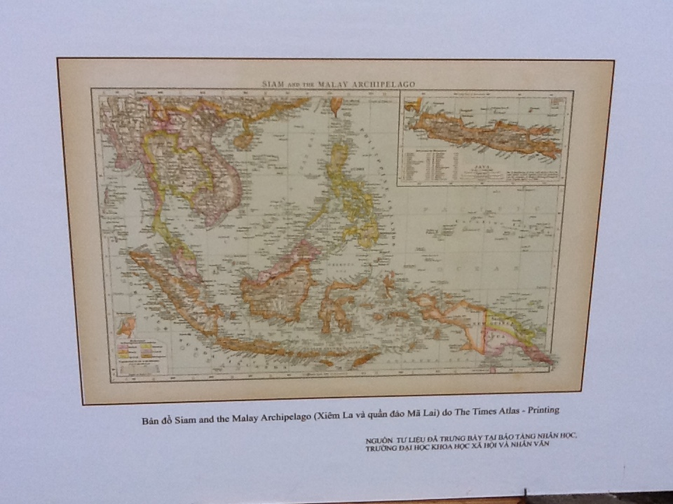 |
| The Siam and Malay archipelago map. (Photo: VOV) |
Chinese traditionally hand-draw maps and maps published by the Chinese government indicate no connection between China and Truong Sa and Hoang Sa archipelagos. Several Chinese bibliographies and maps confirm that Truong Sa and Hoang Sa archipelagos belong to Vietnam.
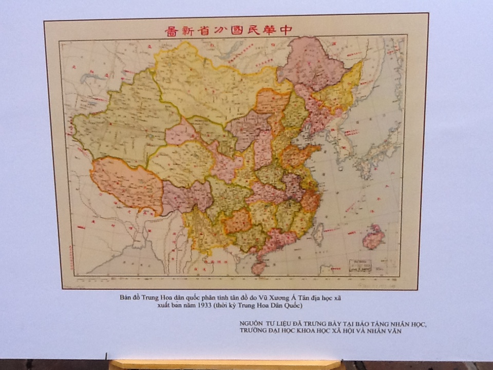 |
| A Chinese map published in 1933 (Photo: VOV) |
The exhibition will continue until July 15th.